LAB 7 MAPS
Chapter 9
 |
| Map: 9a |
 |
| Map: 9b |
1. A join is a combination between two data tables in one table and a relate is when a record in the layer attribute table may have many matches in the non-spatial table. When tables are related, one can highlight records in either table to see matching records in the other. An example for a join would be locations of malls and the relate would be a table attribute that show the stores inside the mall.
Chapter 8&10 Question:
1. Three common operators used in spatial queries >, <, and =.
LAB 8 MAPS
Chapter 8
 |
Map: 8a |
Chapter 10
 |
Map: 10a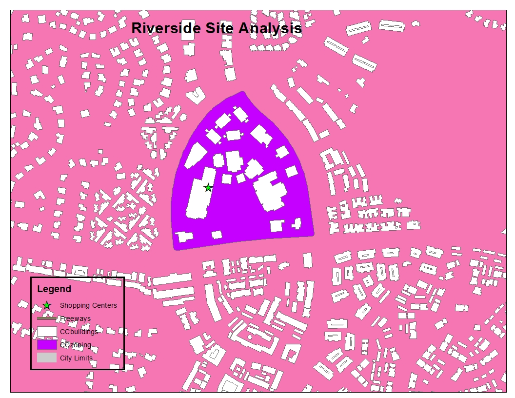 |


